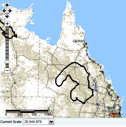
Bore data becomes internet official
 The Bureau of Meteorology has released the Australian Groundwater Explorer - a new online groundwater data tool that gives a comprehensive picture of Australia's groundwater resources.
The Australian Groundwater Explorer brings together large sets of groundwater information from state and territory water agencies, making it publicly available on the Bureau's website.
As groundwater systems often span government boundaries, policy and planning managers will be able to use the nationally-consistent Explorer to get the same information across borders.
Groundwater is sometimes considered a kind of water resource safety net, but with highly variable climate conditions increasing along with population growth and the pressures of development, authorities rely more and more on groundwater supplies.
The online tool allows users to access a wide range of groundwater data from around 800,000 bore locations and bore logs.
Users can pan and zoom the map, while also tailoring searches for information from their area. They can view bore logs and aquifers in 3D, or download tables and graphs.


 Print
Print