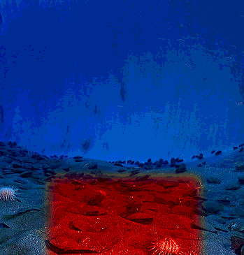
Robots map melting frost
 New mapping has revealed rapid changes to the Arctic seafloor as ancient permafrost thaws.
Thawing permafrost creates unstable land which negatively impacts important infrastructure and impacts Indigenous communities.
A new study from researchers in the US has found dramatic changes offshore, documenting how the thawing of permafrost submerged underwater at the edge of the Arctic Ocean is affecting the seafloor.
About one quarter of the land in the Northern Hemisphere is permafrost or frozen ground. At the end of the last ice age (12,000 years ago) melting glaciers and sea level rise submerged large swaths of permafrost.
Until recently, this submerged permafrost had been largely inaccessible to researchers. But now, thanks to technological advancements, including autonomous mapping robots, scientists are able to conduct detailed surveys and assess changes in the seafloor.
Using the autonomous machinery, scientists have documented multiple large sinkhole-like depressions - the largest the size of an entire city block of six-story buildings - which developed in less than a decade.
“We know that big changes are happening across the Arctic landscape, but this is the first time we’ve been able to deploy technology to see that changes are happening offshore too,” says Dr Charlie Paull, a geologist at the Monterey Bay Aquarium Research Institute (MBARI) who led the study.
“While the underwater sinkholes we have discovered are the result of longer-term, glacial-interglacial climate cycles, we know the Arctic is warming faster than any region on Earth. As climate change continues to reshape the Arctic, it’s critical that we also understand changes in the submerged permafrost offshore.”
Repeated mapping of the seafloor with ship-based sonar and an autonomous underwater vehicle (AUV) were critical to this work.
MBARI’s mapping AUVs can resolve the bathymetry of the seafloor down to a resolution of a one metre square grid, or roughly the size of a dinner table.
The self-guided robots were instrumental in enabling detailed visualisation of the seafloor and documenting changes over time.
The degradation of terrestrial Arctic permafrost is attributed, in part, to increases in mean annual temperature from human-driven climate change.
The changes the research team documented derive from much older, slower climatic shifts related to our emergence from the last ice age, and similar changes appear to have been happening along the seaward edge of the former permafrost for thousands of years.
“We don’t have a lot of long-term data for the seafloor temperature in the Canadian Beaufort Sea, but the available data do not show a warming trend, which ruled out anthropogenic climate change driving the dramatic changes in the seafloor terrain. Instead, heat carried in slowly moving groundwater systems is driving these changes,” explained Dr Paull.
“These rapid changes to the seafloor demand our attention. We need to understand how the decay of relict submarine permafrost will impact the vast areas underlying the Arctic continental shelves. This groundbreaking research has revealed how the thawing of submarine permafrost can be detected, and then monitored once baselines are established.”
The latest study is accessible here.


 Print
Print